The Trails of the Park
The hiking trails within Charleston Lake Park are varied and include distances for hikers of every experience level. Each trail has a theme, and the shorter and relatively easy east side Shoreline Centennial, Sandstone Island, Hemlock Ridge and Beech Woods Trails have interpretive trail guides available.
The longest trail in the Park, the Tallow Rock Bay loop, is on the west side, and from the trail head, (museum), is approximately 14 kilometers end to end. It is in more remote areas and rates a difficult by park staff.
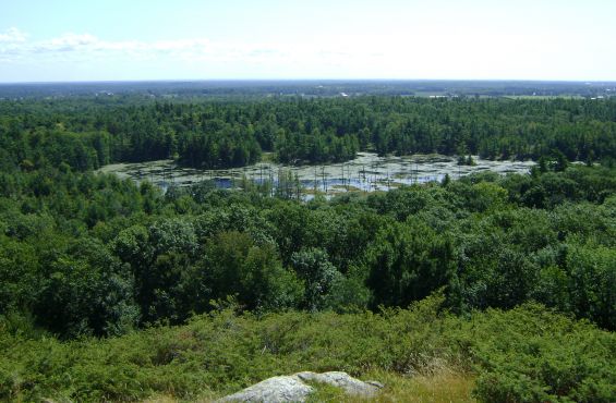
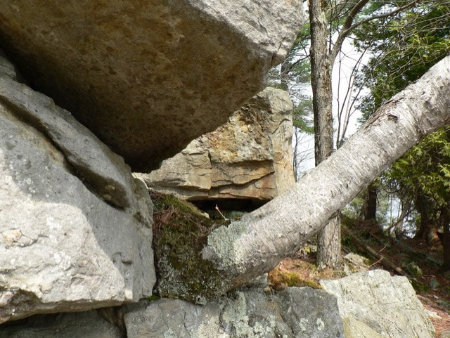
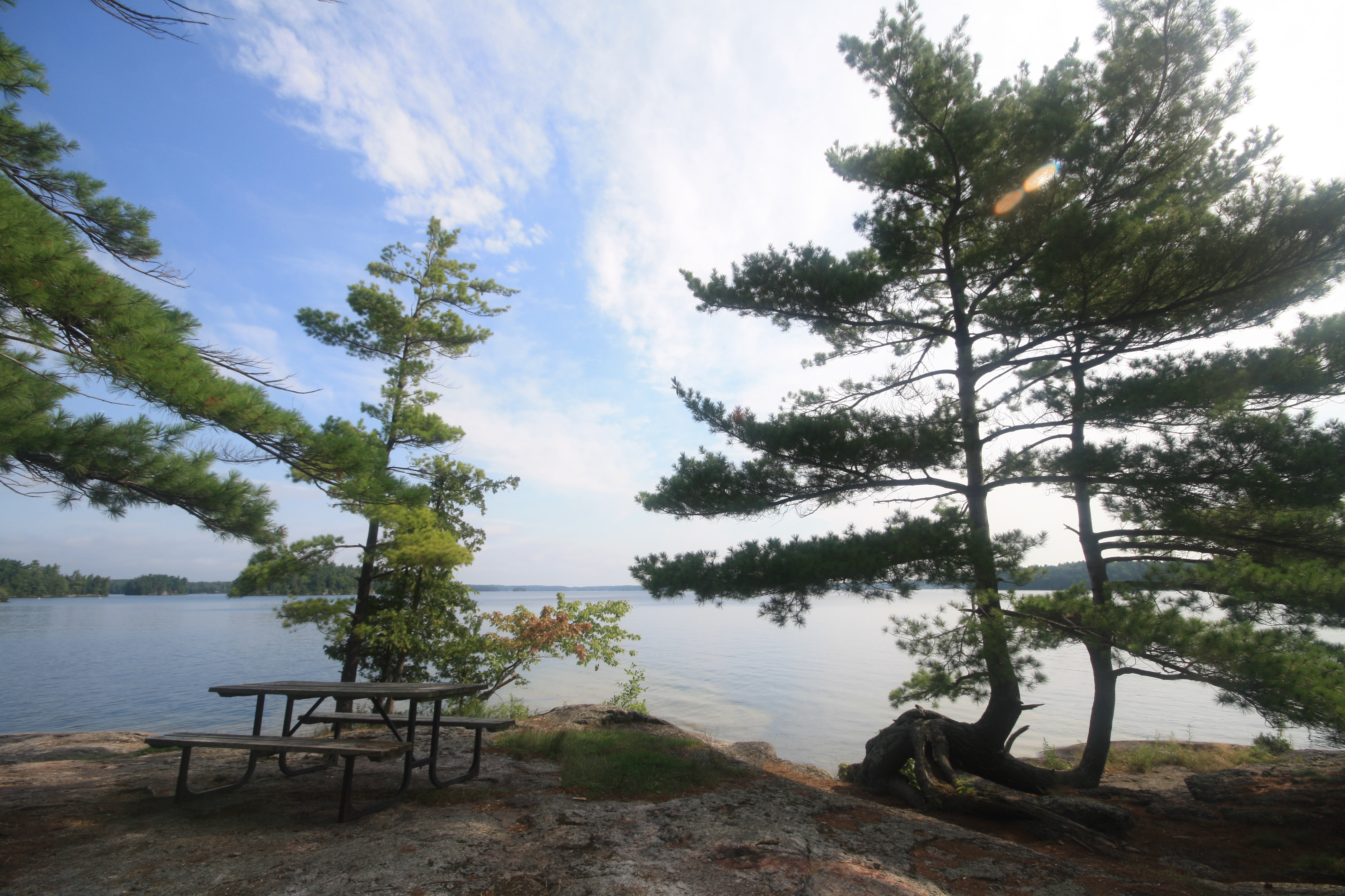
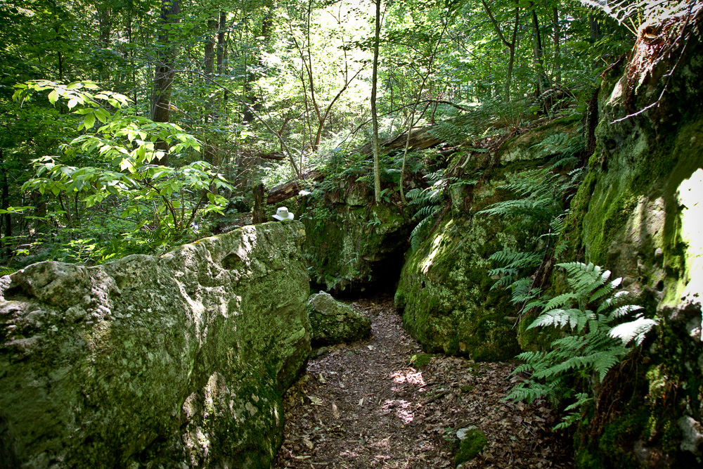
While hiking in the park, you can expect to enjoy breathtaking views of Charleston Lake, ancient aboriginal cave dwellings, unique rock and forest settings, and well maintained footpaths. Come and enjoy.
Interpretive Trail Guides are available at the Discovery Centre, Gatehouse, and Park Office. All of our trails are also highlighted in the Ontario Trails Council Trail Guide.
Beech Woods
- Length: 1.5 km
- Trail guide: Interpretive panels along trail
- Theme: Wildlife of the park
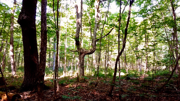
- Features: Mature forest; diverse habitats
- Difficulty: Easy
Quiddity
- Length: 2.4 km
- Map: Avaliable here
- Theme: Charleston's diverse habitats
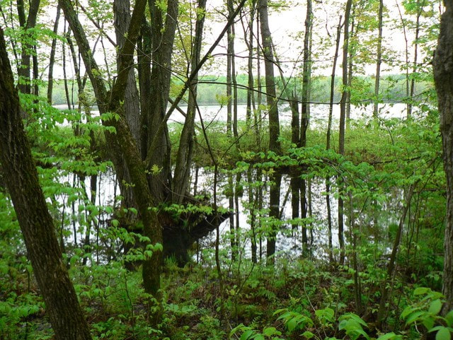
- Features: Boardwalk over wetland; scenic lookout
- Difficulty: Easy
Sandstone Island
- Length: 3.3 km
- Map: Avaliable here
- Theme: Geological and human history of the park
- Features: Historic rock shelter; scenic lookout; interesting geological features
- Difficulty: Moderate
Shoreline Centennial
- Length: 2.0 km
- Map: Avaliable here
- Theme: The story of Charleston Lake
- Features: Scenic views of the rugged shoreline
- Difficulty: Moderate
Hemlock Ridge
- Length: 2.0 km
- Map: Avaliable here
- Theme: Plant communities of the park
- Features: Views of a beaver pond; rock crevasses
- Difficulty: Moderate
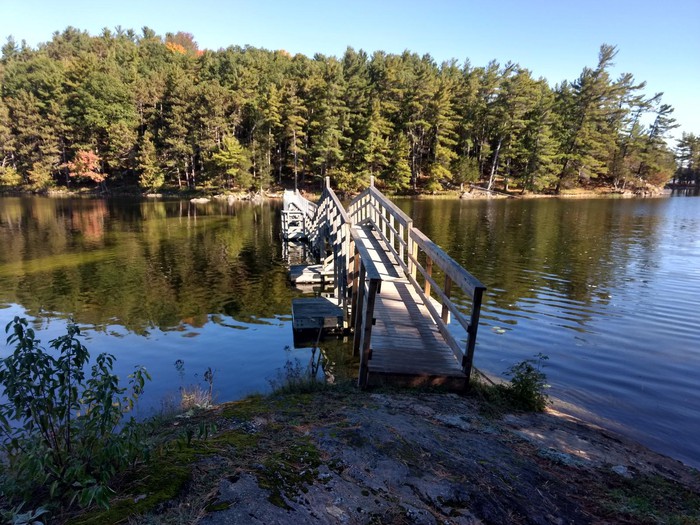
Tallow Rock Bay (aka The Westside Trail)
- Length: 10 km
- Map: Avaliable here
- Trail Guide: For an excellent map with pictures and points of interest, check out Trail Peak
- Features: Scenic lookouts; more remote areas of the park; floating bridge
- Difficulty: Difficult
Blue Mountain
- Length: 5.7 km
- Map: Avaliable here
- Theme: Wildlife of the park
- Features: Scenic lookout (the highest point in Leeds County)
- Difficulty: Difficult
- Accessible by water from the Huckleberry Hollow picnic site.